Introducing news and columns from ROKKONOMAD
An A la Carte Menu for Walking around the Mountain from ROKKONOMAD
For those of you who are considering ROKKONOMAD, we would like to inform you about hiking in Rokkosan, which you can do while working here.
Features of the Rokkosan Hiking Road
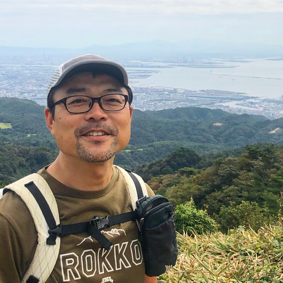
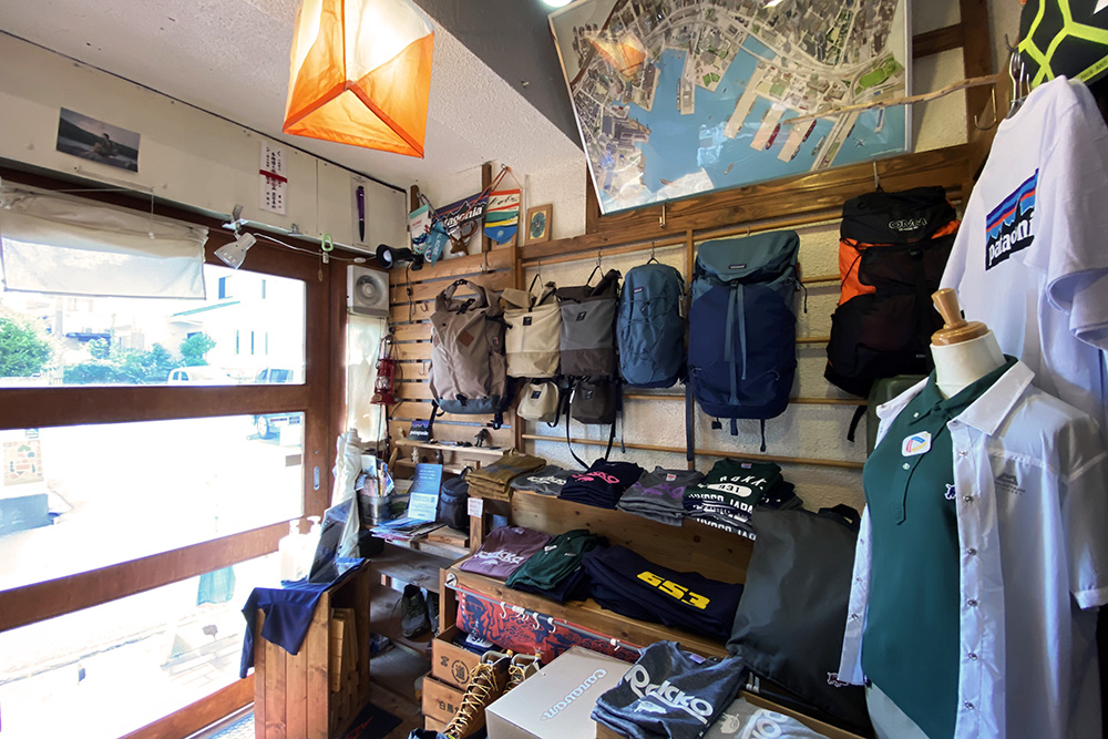
First of all, we visited Mr. Haruyoshi Asano, the owner of “Hakubado Rokko”, a mountain walking goods shop located 3 minutes on foot from Hankyu Rokko Station. It is also included in the “Rokko Mountain Map.” Mr. Asano was also in charge of writing the book “Mountain and Plain 49 Rokko/Maya Suma Alps” published by Shobunsha, so he knows all about mountain walking routes on Rokkosan. At Hakubado, one can get all kinds of hiking equipment, and he will teach you how to walk Rokkosan, so please be sure to drop by.
Website Instagram
–How many mountain walking courses are there on Rokkosan?
Rokkosan is a mountain range that straddles the four cities of Kobe, Nishinomiya, Ashiya and Takarazuka, and there are more than 100 hiking trails if you include all of them. In Kobe City alone, there are 58 routes under the jurisdiction of the city’s Forest Development Office.
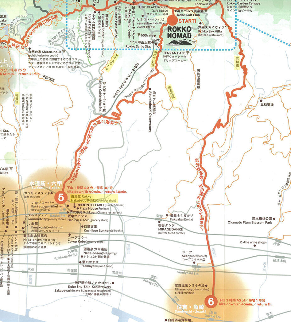
In Nada Ward, where ROKKONOMAD is located, there is the Abura-Kobushi, Ice Road, Nagamine Mountain, Somadani Road (also known as Cascade Valley), Ueno Road, Aotani Road, and Rokko All Mountain Traverse Road, etc.
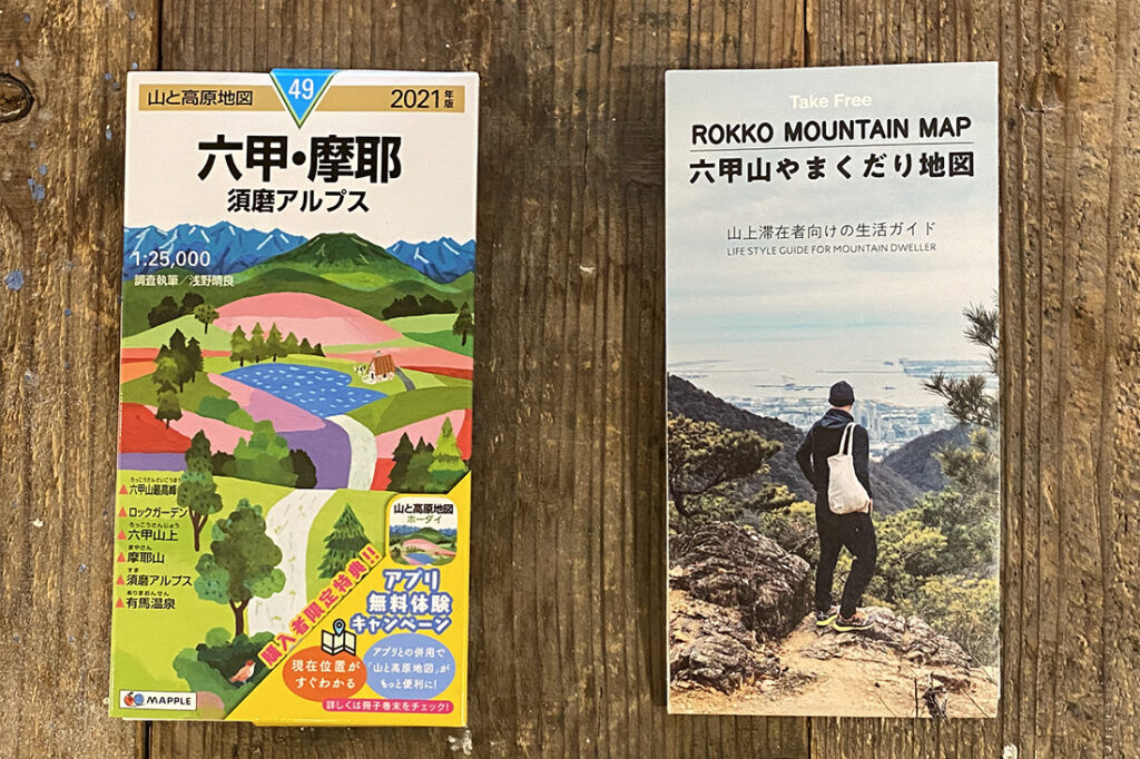
In “Yama to Kōgen Chizu,” mountaineers who are familiar with each mountain range conduct surveys and write about the routes and other information, updating them periodically. It will soon be 20 years since Mr. Asano was put in charge of surveying and writing the Rokko/Maya/Suma Alps section.
–Each mountain road has its own name, doesn’t it?
Since Rokkosan is very close to the city, many of the names of the roads are derived from daily life. The name “Kanten Sando” literally means “Kanten (a type of Japanese jelly) Mountain Road” because of the history of making this food on Rokkosan. In the old days, there were many water mills at the foot of the mountain that used the water flow of the steeply sloping rivers. Because of the clean water and the nice cold weather, Kanten production flourished on Rokkosan.
“Totoya-michi” is a road that used to be used to transport fish caught at the fishing port in Fukae (Higashinada ward) to Arima Onsen. In the past, fishmongers would deliver the fish caught in the morning to the hot spring by evening and return the same day.
The name “Ishikiri-michi” also comes from the fact that stone was actually quarried here in the past. It was a quarry site of granite, which is said to have been used as the stones for Osaka Castle. “Mikage Ishi” is a type of granite, and the name “granite” in Japan comes from the fact that the stone was quarried in the Mikage area.
The reason for the “Ice Road” was that it was a road used to carry ice that was made on the mountain to the city. There are many theories about the name “Abura-Kobushi”, but I’ve heard that it was used as a route to transport rapeseed oil in the old days, but the mountain road was rough and people spilled oil on it, so it became “Abura-Kobushi” which literally is “spilled oil.”
–What is the characteristic of mountain walking that is unique to Rokkosan and different from other mountains?
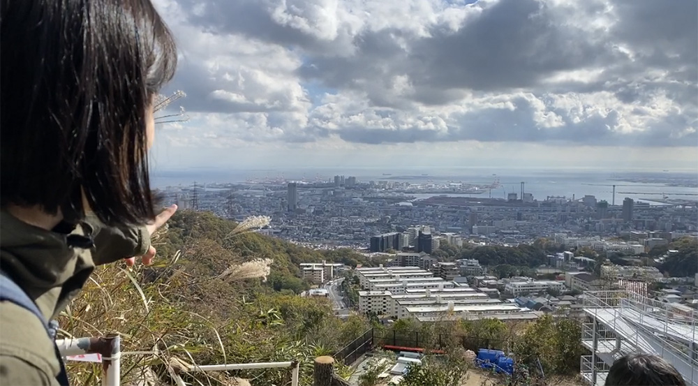
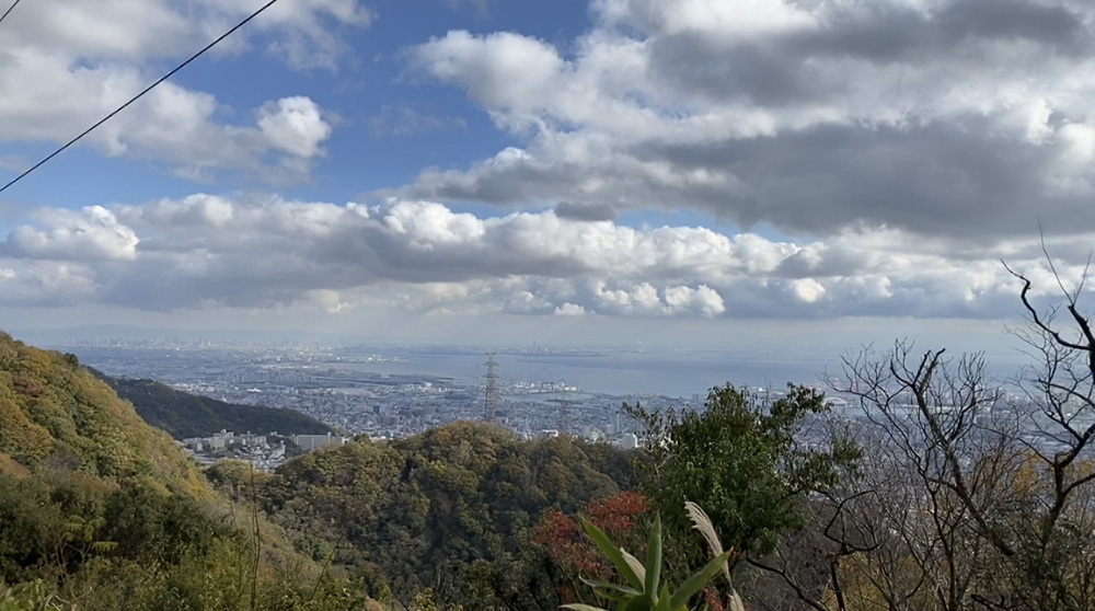
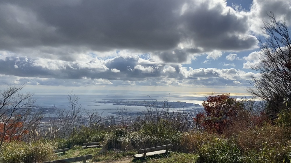
The most inherent attraction of Rokkosan is that you can see the sea even though you are climbing a mountain. Climbing the mountain in the north, see the sea in the south.
In other words, one of the characteristics of Rokkosan is that the slope is steep enough to give us such a view. On the southern slope, it takes only 5 to 7 km of horizontal distance to reach the top of the mountain, so it’s quite good exercise even though it takes only a short time to climb the mountain (laughs).
–Please let me know if you have any tips for walking on the mountain path of Rokkosan.
I want various people to get familiar with Rokkosan. Of course, I do, but what I want you to know is that although people say that “the mountain belongs to everyone,” it is actually a place that is owned by someone or maintained by people who live there. There are parts that are private property, and there are many people who actually live on Rokkosan. Therefore, it is important to have a sense of that one is being “allowed to be” on the mountain.
If you go to a seaside town, there are surf spots that only local people are allowed to enter. So one needs to keep in mind that there are places in the mountains that one is allowed to enter and places that are not. Also, since we are allowed to enter the mountain, it should be a natural habit to bring back any trash you have.
Recommended for beginners “Abura-Koboshi”.
Now, I’ll introduce two courses, “Abura Kobushi” and the “Ice Road”, which are recommended for beginners of mountain walking on Rokkosan.
“Abura-Kobushi is the shortest hiking course, starting from the bottom of the Rokko Cable and going to ROKKONOMAD. On the way, you can find many spots with great views. However, the slope of the ascent is also steep. Go up at your own pace, and as a guide it usually takes around 1 hour and 15 minutes uphill and 1 hour and 10 minutes downhill.
You can watch a video of me climbing “Abura-Kobushi” with a guest who came to ROKKONOMAD as a work-in-residence participant.
Not so steep “Ice Road”
The “Ice Road” is another route that can be used to walk up and down between the lower cable station and the top of the mountain. It is a more circuitous route than the Abura-Koboshi route to ROKKONOMAD, so it takes about 20-30 minutes longer. Since the gradient is not as steep, one can enjoy walking a bit more leisurely.
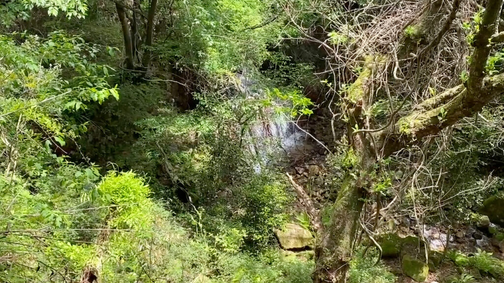
The Ice Road doesn’t have the same views as the Abura-Kobushi, nor does it have a spot where you can see the ocean.
However, there are three streams along the way, and you can be soothed by the pleasant sounds of the water. It’s a great way to refresh yourself when your brain is tired from concentrating on work, or when you’re feeling overwhelmed from dealing with clients.
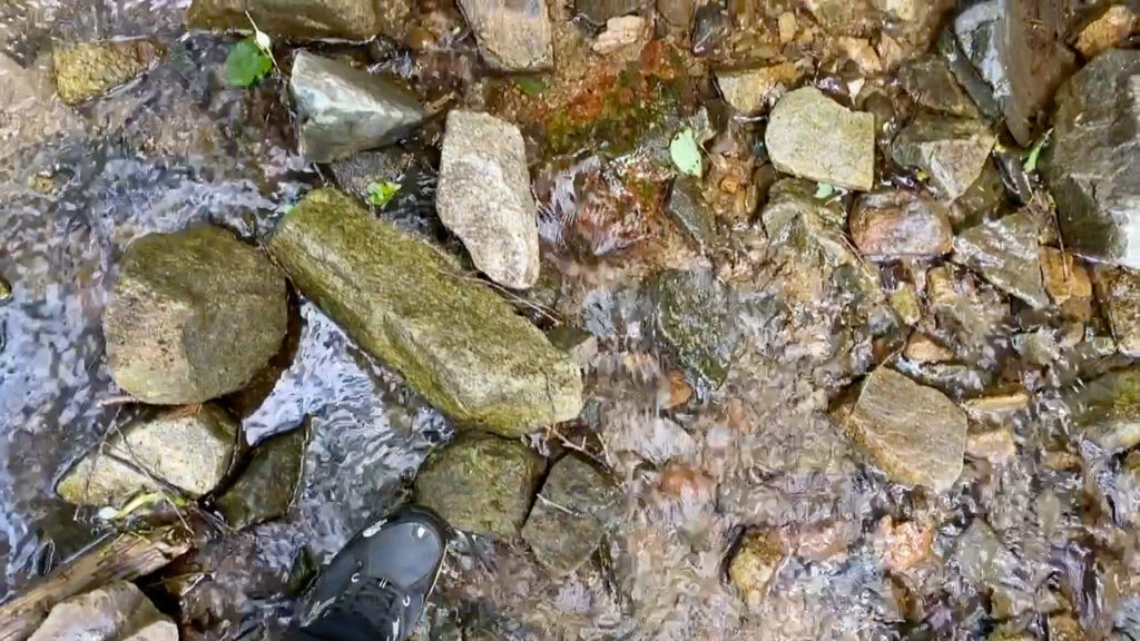
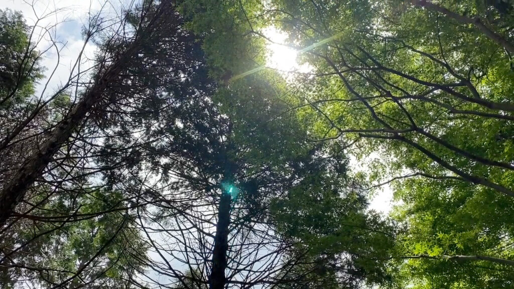
The feeling of being enveloped by the clear greenery, the sound of birds, the murmur of the water. You won’t pass many people, and it’s a good place to “disconnect” from your daily life. Since the slope is gentle, you can think of this route as a commuting route, saying, “Today, I’ll walk along the ice road to the bottom of Rokko Cable instead of using the cable.” You can save money on the cable car and have zero emission. (Please refrain from doing this after dark or in bad weather though.)
ROKKONOMAD Official STRAVA and “ROKKONOMAD HIKING CLUB” (Youtube)
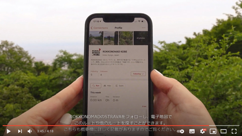
In addition, Shannon Ito, one of the members and a yoga instructor at ROKKONOMAD, regularly uploads mountain hiking videos labeled “ROKKONOMAD HIKING CLUB” on the ROKKONOMAD Youtube channel. She also records the route on the SNS “STRAVA” app. She uses the SNS “STRAVA” to record the trails that appear in the “Rokkosan Mountain Map”.
Of course, if you stay at ROKKONOMAD, please ask our staff. I’m sure they’ll be able to advise you on the best mountain hiking routes to take!
(Column written by Yohei Yasuda)


