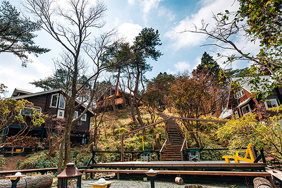
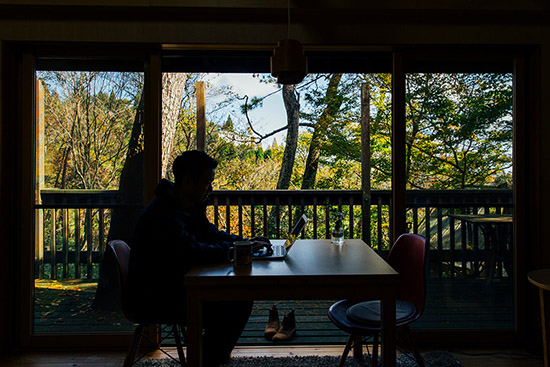
We will post reports and articles about Mountain life and work style.
Hike & Bike Activities on Mt. Rokko
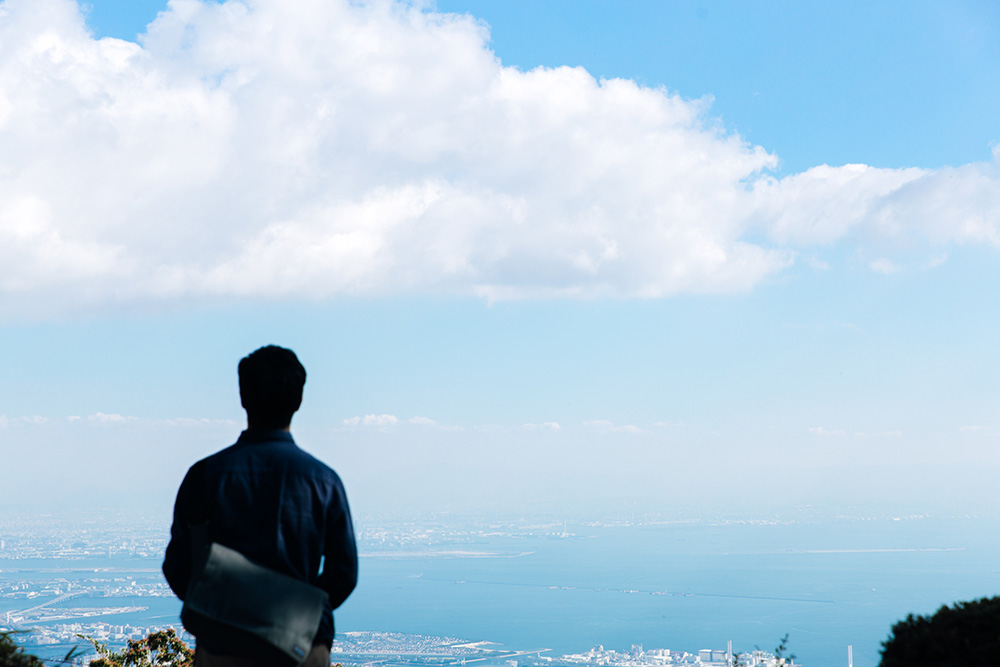
For this article we have summarized the hiking and biking activities you can do around the shared office.
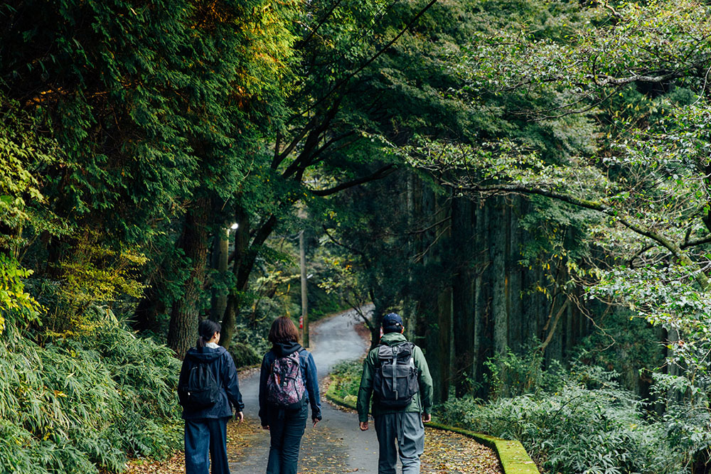
Short course hiking
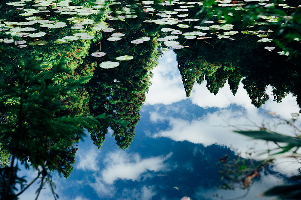
ROKKONOMAD is located right next to Japan’s oldest golf club, the “Kobe Golf Club.” Even just a light 40 minute to one hour walk around the golf course will make you feel like you have taken a forest bath and is great to do before you start work. Also perfect for change of mood during work. Personally, I just like to stare at the ponds, where the scenery is reflected like a mirror. So nice.
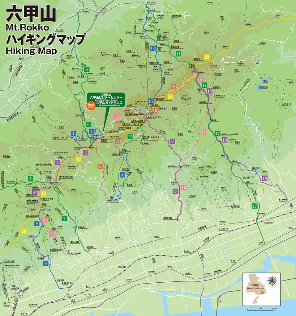
It is also possible to change the course little by little and add arrangements each time you go out. The “Setonaikai National Park Mt. Rokko Walking Map” created by the Kobe Nature Conservation Office of the Ministry of the Environment is easy to use and quite usable.
Click here for PDF data
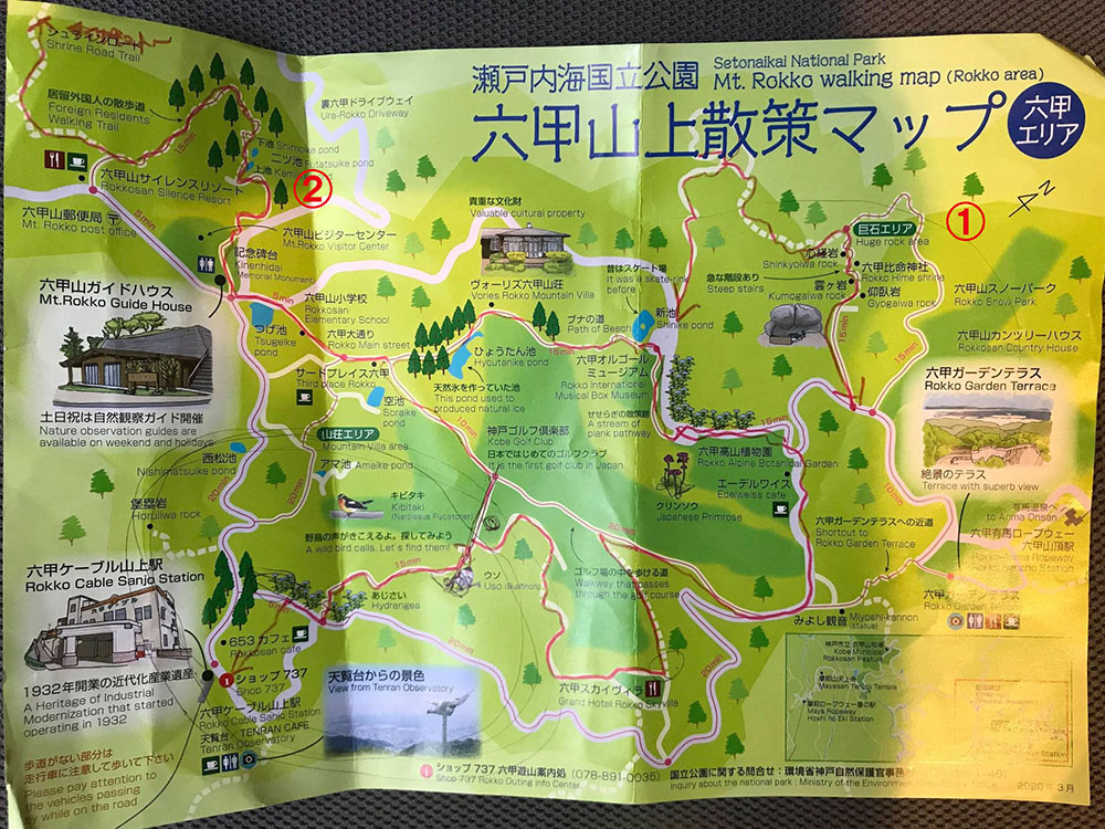
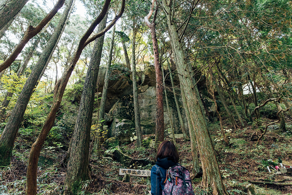
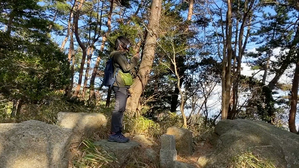
There are strange rocks and shrines based on mountain worship in the “Monolith Area” (the red letter ① in the above map) The course that goes along the steep narrow path next to it feels like an adventure. (It’s a sacred place for Rokko “Shugendo” (sacred training)).
The Kinki Region Natural Trail starts from the back of the parking lot of “Mt. Rokko Visitor Center” and leads to the Shrine Road (the red letter ② in the above map).
All of them are on the side of Prefectural Road No. 16, the Akashi Kobe Takarazuka Line where one can find the botanical gardens and museums. It is really nice that when you enter the dirt roads there are often no signs of people and you can switch instantly to being surrounded by nature. The perfect getaway when you just want to think by yourself.
Hiking up to the shared office
If you usually enjoy mountain hiking, instead of taking the Rokko Cable, it’s a great idea to hike up the path to ROKKONOMAD from the path that starts by the cable station. It takes about 10 minutes to go up the mountain via cable and about an hour to hike up by the shortest hiking course, the “Aburakobushi”. For me it actually took about 1 hour and 10 minutes, so it will vary person to person.
There is also a route called the “Ice Road”, which according to locals is more interesting because it has tunnels and other features. Will be sure to try that next time. In the Meiji era, ice was stored in ice houses on Mt. Rokko and carried down to the city during the spring and summer. That is why there is a path called the “ice road.”
Round Trip to Arima Onsen
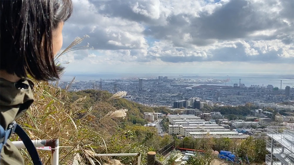
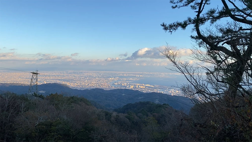
Walking past the golf course from ROKKONOMAD, one will soon come to a place with a particularly spectacular view called “Miyoshi Kannon.” It is also a point to stop and rest if you are taking the trekking route “Koyodani Road” to Arima Onsen (hot springs). One can walk to the hot springs in about 2 hours. Of course, you can walk from ROKKONOMAD to the Rokko Arima Ropeway Station in about 50 minutes, and then take the ropeway down to Arima. It is also great to hike down to Arima and use the ropeway on the way back. The good thing about Rokko mountain walks is that you can combine them with various modes of transportation so that you will not end up overdoing it.
I want to ride my bicycle
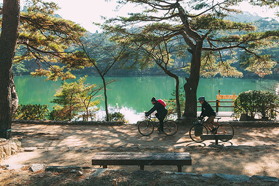
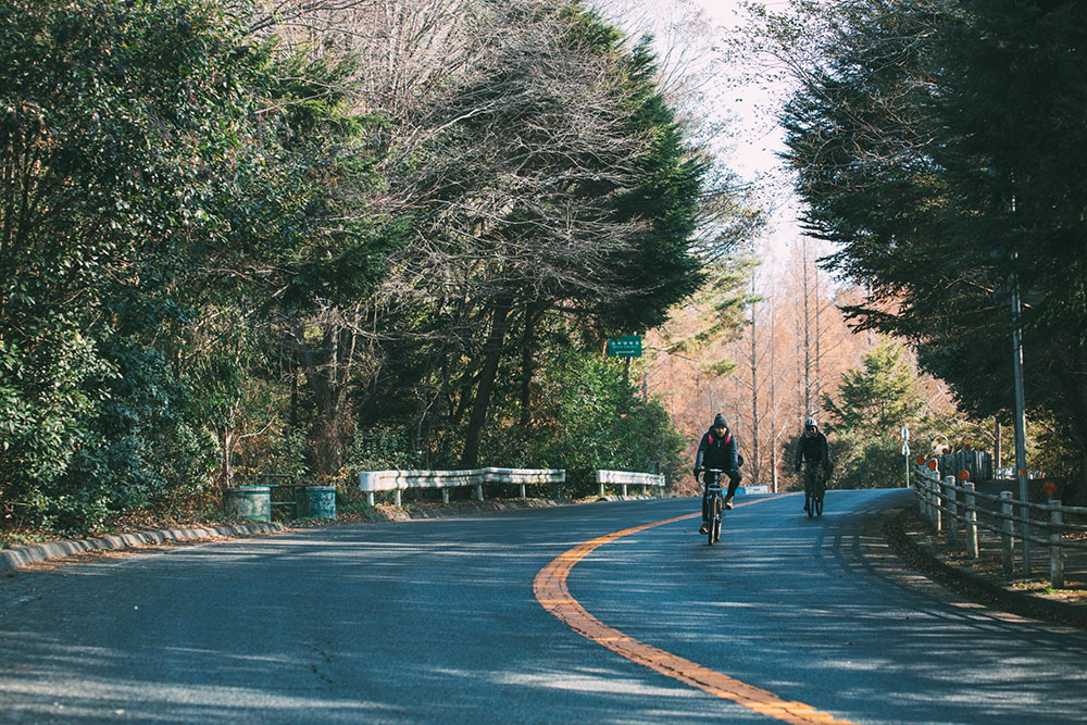
It’s also nice to load a bicycle into a car and head up the mountain (some of my friends actually pedal from the city up the mountain, lol). Mt. Rokko is a steep mountain (one of the reasons it has amazing views), but once you get to the top of the mountain, it’s actually quite gentle and suitable for casual cycling. Very near to ROKKONOMAD is the Prefectural Road No. 16, the Akashi Kobe Takarazuka Line, and if you go west on that road for 30 minutes, you will reach a really lovely park with beautiful greenery around a pond, Futatabi Koen. Just the right distance for a short pedal to refresh from work. Leave your bicycle at the shared office and use it to the breeze and then return for work. A really nice routine.
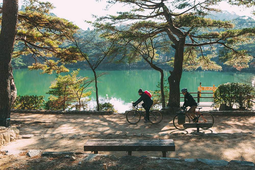
There is no way not to enjoy this environment
There are other courses than what we have introduced, and it would be quite worth pursuing the fun of biking here. Being near the city, Mt. Rokko is a place where one can enjoy routes and ways of playing that people have cultivated on a daily basis. There is no way not to enjoy this region between projects. How about returning from a business trip, doing a little Hike & Bike, and then getting back to work in the office?
Reference Links:
- Mt. Rokko Visitor Center | Hiking Course
Details on hiking trails on the mountain and trails from the city to the mountains are posted on the Rokkosan Visitor Center website. The “Aburakobushi” and “Ice Road” routes that appeared in the text are also listed.You can also download the PDF version. - Setonaikai National Park Rokko Sanjo Walking Map
Maps can also be obtained at the Rokkosan Visitor Center, ropeway, and cable stations.
Reference book:
“Mt. Rokko, Mt. Rokko / Mt. Maya Best Course” (Yama-kei Publishers)


